Search Constraints
You searched for:
Map Type
Bevölkerungskarte
Remove constraint Map Type: Bevölkerungskarte
Map Scale
21000000
Remove constraint Map Scale: 21000000
1 entry found
Search Results
1. Die Slaven nördlich von der Donau um 900
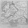
1886. Osteuropa. Slawen. 900/900. Ethnografie. Versteckte Karten.