Search Constraints
You searched for:
Project
GeoPortOst
Remove constraint Project: GeoPortOst
Data Type
Raster
Remove constraint Data Type: Raster
Map Scale
6000000
Remove constraint Map Scale: 6000000
1 - 6 of 6
Search Results
1. Übersichtskarte des Östlichen Kriegsschauplatzes
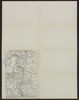
1918. Osteuropa. Weltkrieg <1914-1918>. 1918/1918. Militärgeschichte. Versteckte Karten.
2. Formes de la propriété rurale
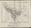
1918. Balkanhalbinsel and Südosteuropa. Grundeigentum. Versteckte Karten.
3. Types des maisons

1918. Balkanhalbinsel and Südosteuropa. Haus. Versteckte Karten.
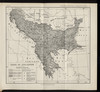
4. Types des villages

1918. Balkanhalbinsel and Südosteuropa. Ländliche Siedlung. Versteckte Karten.
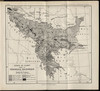
5. Zones de civilisation
1918. Balkanhalbinsel and Südosteuropa. Ethnische Gruppe. Ethnografie. Versteckte Karten.
6. Zones de climat dans la peninsule balkanique
1918. Balkanhalbinsel and Südosteuropa. Geografie. Versteckte Karten.